Development of (geo)tools

Smart (geo)tools that strengthens your processes.
At Blue Team Intelligence, we develop tools that help safety and security organisations analyse faster and more efficiently. Thanks to our in-depth domain expertise, we understand exactly what’s needed to speed up processes and enhance insights.
We’re not a software company, but we leverage technologies like Esri and open-source software to create customised solutions that seamlessly fit your existing processes and frameworks. Our unique blend of technical expertise and operational experience ensures our tools are not only functional but als immediately applicable in practice.

What are (geo)tools
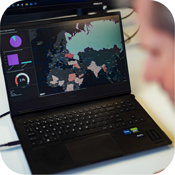
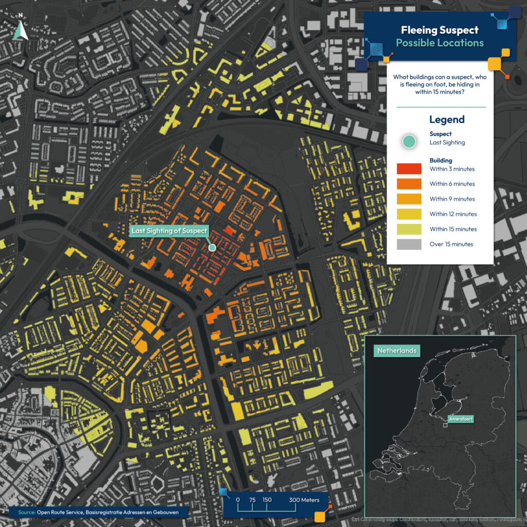
To operate effectively, it’s crucial to analyse data quickly and make it easy to understand. Our geotools support this by automating analyses and presenting complex information visually. Incoming data is clearly visualised and translated into straightforward results, so the key “so what” and “what now” questions are answered intuitively.
In addition, we develop toolsthat support safety and security organisations in optimising their intelligence and information processes. We build solutions that integrate with existing software and leverage available technologies, such as client applications or open-source systems. This ensures our tools are immediately applicable and help make processes more efficient without adding unnecessray complexity.

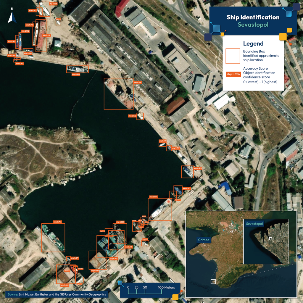
A practical approach


For every question a customised (geo)tool. As a human geographer, I can’t wait to get started for you.